

Spatial Analysis and Satellite Imagery in a GIS
This Specialization is for those new to mapping and GIS, as well as anyone looking to gain a better understanding of how it all works and why. You will learn practical skills that can be applied to your own work using cutting-edge software created by Esri Inc., the world's leading GIS company and our industry partner.
Created by: Don Boyes
 Quality Score
Content Quality
/
Video Quality
/
Qualified Instructor
/
Course Pace
/
Course Depth & Coverage
/
Overall Score : 96 / 100
 Course Description
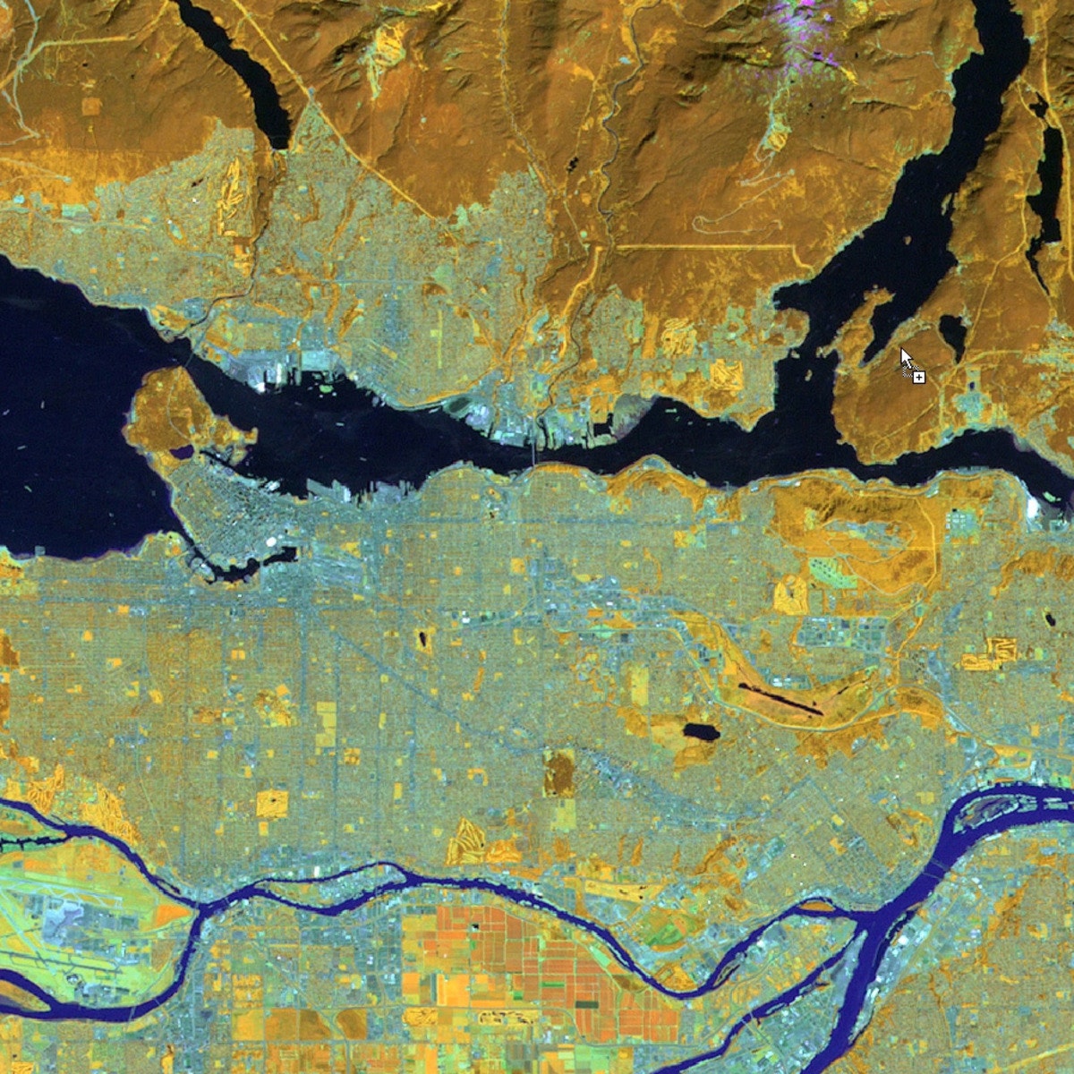
In this course, you will learn how to analyze map data using different data types and methods to answer geographic questions. First, you will learn how to filter a data set using different types of queries to find just the data you need to answer a particular question. Then, we will discuss simple yet powerful analysis methods that use vector data to find spatial relationships within and between data sets. In this section, you will also learn about how to use ModelBuilder, a simple but powerful tool for building analysis flowcharts that can then also be run as models. You will then learn how to find, understand, and use remotely sensed data such as satellite imagery, as a rich source of GIS data. You will then learn how to analyze raster data. Finally, you will complete your own project where you get to try out the new skills and tools you have learned about in this course.
 Instructor Details

- 4.8 Rating
 4 Reviews
Don Boyes
Don has been learning about, and using, GIS for over 30 years. He has been teaching several GIS courses at the undergraduate and graduate level at the University of Toronto since 2001. Before that, he worked as a freelance GIS consultant, with clients in Canada's Northwest Territories, Yukon, Nunavut, and Ontario. Don is passionate about finding meaningful ways to help students learn more effectively using education technology.
 More artificial intelligence courses


Improving Deep Neural Networks: Hyperparameter tuning, Regularization and Optimization
5.0 (526 Reviews)
 Provider: Coursera
 Time: 15h
Free


 Reviews

- Video Duration:
 16h
16h - Price: Free 0 Track Price
- Provider: Coursera
- University:
 University of Toronto
 - Language:
 English
 - Certificate:
 Yes
Yes
Coursera Coupon Price Tracker
