Web Development
 Data Science
 Python
 SQL
 JavaScript
 Artificial Intelligence
 IT & Software
 IT Certifications
 Hacking
 AWS
 Arduino
 DevOps
 3D Modeling
 Graphic Design
 Photoshop
 Drawing
 Digital Painting
 UX Design
 Business
 Data Analysis
 Communication Skills
 Project Management
 Leadership & Management
 Human Resources
 Digital Marketing
 Social Media Marketing
 Marketing
 SEO
 Google Analytics
 Branding
 Excel
 Office Productivity
 SAP
 PowerPoint
 Microsoft Access
 SharePoint
 Finance & Accounting
 Trading & Investing
 Accounting
 Bitcoin
 Personal Finance
 Video Editing & Animation
 Photography
 Adobe Premier Pro
 Adobe Lightroom
 Personal Development
 Productivity
 Career Development
 Life Coaching
 Health & Fitness
 Meditation & Mindfulness
 Yoga
 Music
 Music Production
 Guitar
 Piano
 Singing
 Language Learning
 Teaching & Academics
 Engineering
 Math
 Lifestyle
 Vikshut Mundkur Courses
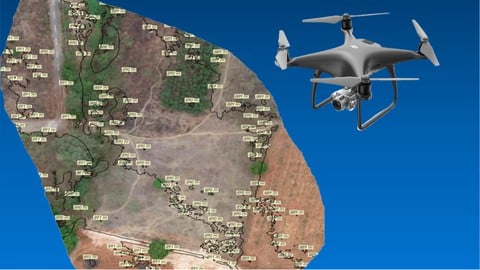
The Ultimate Guide for Land Surveying with Drones - Part 1
4.5 (1,391 Reviews)
 Provider: Udemy
 Time: 1.9h
- 2024
$11.99
Visit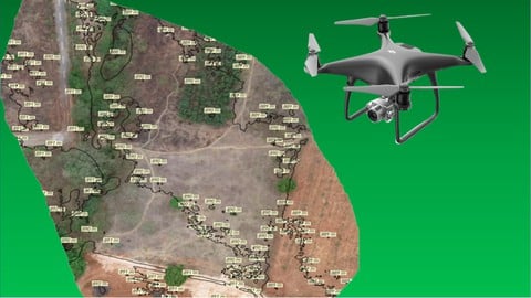
The Ultimate Guide for Land Surveying with Drones - Part 2
4.3 (595 Reviews)
- Provider: Udemy
- Time: 1.6h
- 2024
$12.99
Visit Most Recent Review
This course is truly outstanding. The explanations start from the very basics and build up step by step, making even complex concepts easy to grasp. The instructor’s teaching style is clear, engaging, and practical, with real-world examples that bring the workflow to life. The class engagement and structure are excellent, and the way the material is presented keeps you motivated throughout. Overall, it’s a fantastic learning experience for anyone interested in drone-based land surveying...
- Review by SRINIVAS 567 on The Ultimate Guide for Land Surveying with Drones - Part 1
 Instructor Bio
I'm an electronics engineer with a passion for technology, innovation and business! Over the past 3 years, I have developed a passion for drone technology and have co-founded a start up called Huviair Technologies in Bangalore, India. I specialize in understanding customer requirements, conceptualizing projects, planning and executing drone data capture, processing the data, analyzing the outputs and producing results. I have expertise on drone data applications for the survey, construction, infrastructure, renewable energy and natural resource management sectors.